Xinjiang Altay prefecture: Land of Kazakh herdsmen, horses and golden fall

Altay Prefecture is in Xinjiang is on the north border of Xinjiang Uyghur Autonomous Region, connected with Mongolia to the north. The Altay city is the political, ecnomic and cultural center of Altay Prefecture. The cow, horse and sheep raising take large account in the grassland farming of Altay.
Altay Prefecture is located in Northern Xinjiang, People's Republic of China. It has an area of 118,015 km2 and a population of 561,667 (2000). It is a part of Ili Kazakh Autonomous Prefecture. At the 2000 census, Altay was the only major subdivision of Ili Kazakh Autonomous Prefecture with an ethnic Kazakh majority.
Kanas Lake is a lake in Altay Prefecture, Xinjiang, China. The lake is located in a valley in the Altai Mountains, near the very northern tip of Xinjiang and the province's borders with Russia, Kazakhstan and Mongolia. The lake was formed around 200,000 years ago during the Quaternary period as a result of glacier movement. The crescent moon shaped lake has an estimated water storage capacity of 53.8 billion cubic meters, coupled with an average depth of around 120 meters.
The Kanas River, flowing out of the lake, later merges with the Hemu River to form the Burqin River, which itself discharges into the Irtysh River at Burqin Town, the county seat of Burqin County.
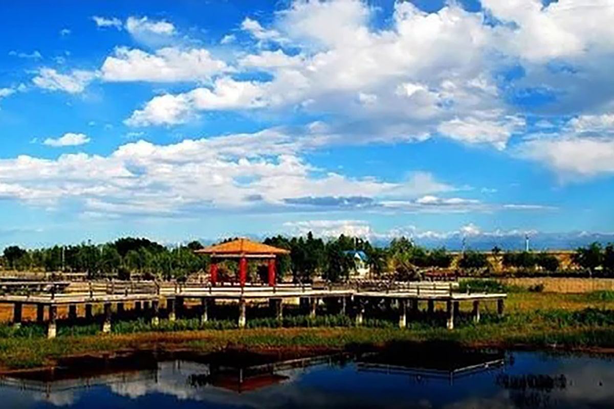
The Altay region boasts rich landscape forms, from glacial rivers, forests and grasslands to alpine valleys, lakes, wetlands and deserts.With three five-A scenic attractions including the well-known Kanas Lake, as well as more than 200 quality tourist destinations scattered along the picturesque Altay Mountains, the Altay area is regarded as one of the most promising tourist markets in Xinjiang.
Sublime glaciers and snow-covered peaks, colorful alpine meadows, grand granitic natural sculptures, dynamic atmospheric conditions, picturesque landscapes of rivers and lakes, and charming nomadic life and folk customs. These features combine to form unique aesthetic values that are second-to-none. The area is a remarkable exemplification for the aesthetic values of integrated natural and human mountainous landscape.
The most beautiful and the most concentrated Altay tourist attractions gather in northern Burqin county, mainly including Kanas Scenic Spot, Hemu Village, Baigaba Village, Colorful Beach Scenic Spot, etc. In east, there are two splendid tourist destinations -- Koktokay and Palette Town. Besides, there are other tourist spots scattered around the Altay city, loke Hualin Park, Xiaodonggou Forest Park , Wuzhiquan Scenic Spot, etc.
● Main Cities of Altay
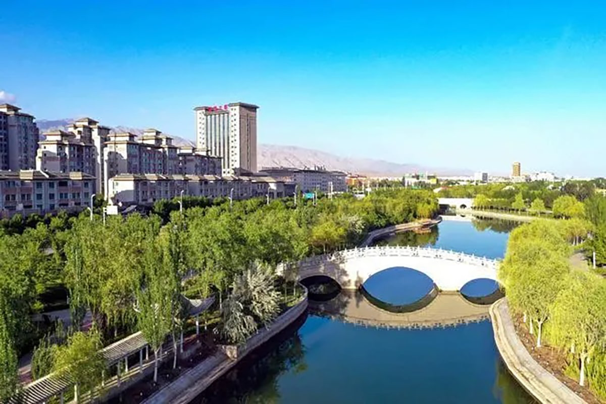
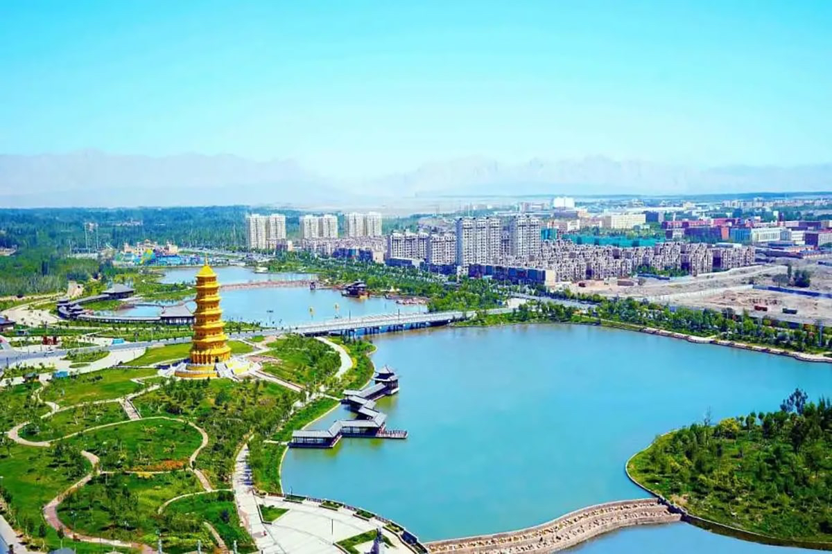
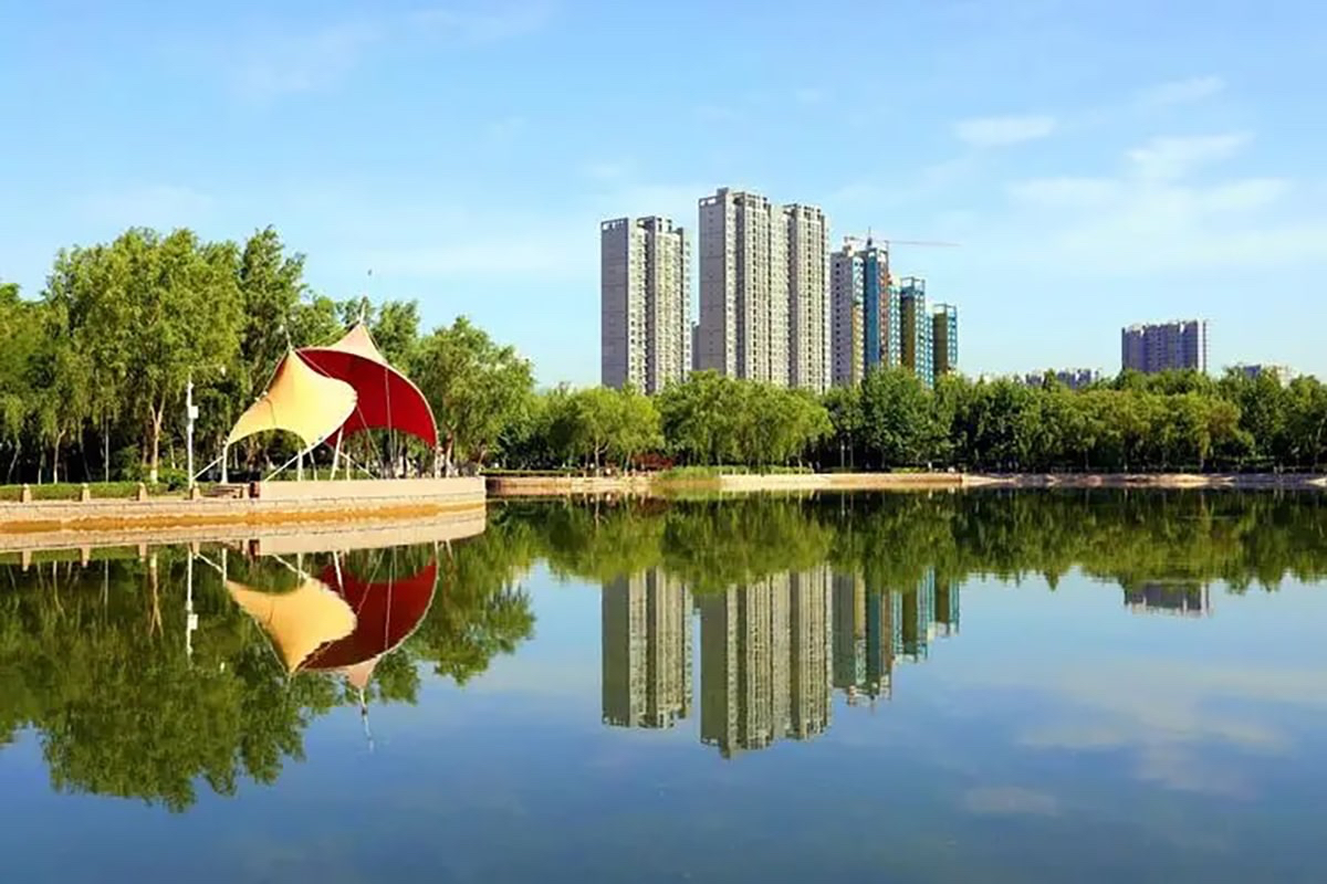
Altay City
Altay city is located at the southern foot of the Altai Mountains and the northern edge of the Junggar Basin, so the northern part of the city is higher than the southern part. The landform of the city mainly consists of the northern mountainous areas, the southern hilly area and the alluvial plain among mountains.
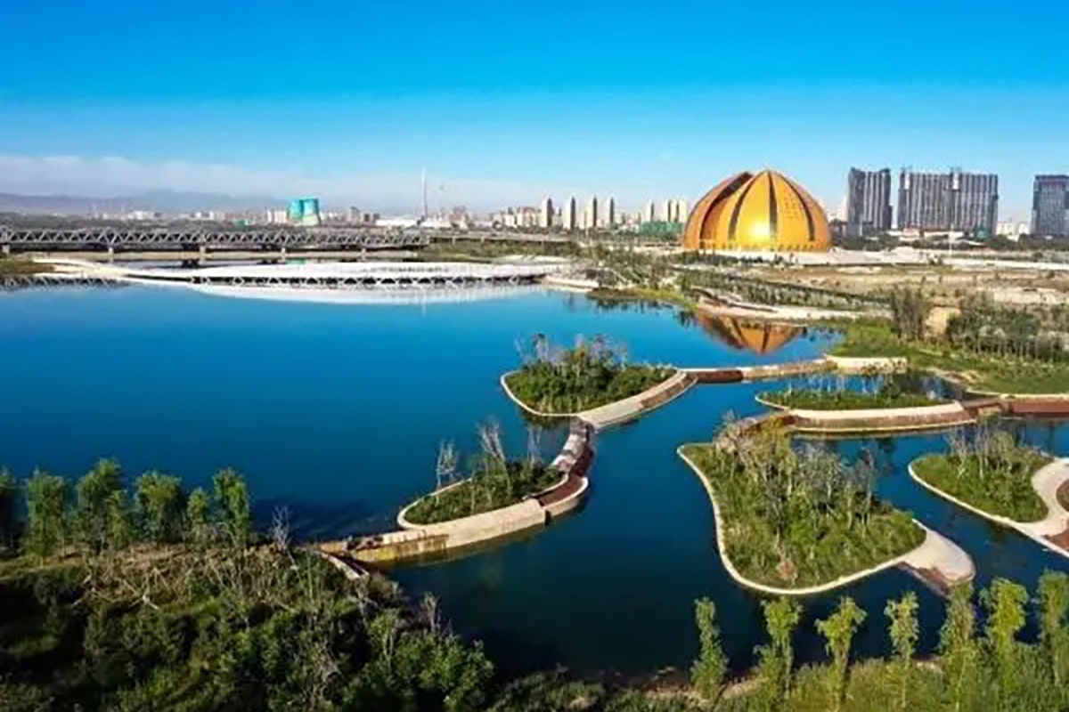
Altay is endowed with rich natural resources and is thus reputed as "gold mountain". There are over a hundred of rivers of all sizes lie in this city with three big river systems: Irtysh River, Kelan River and Sumudayilie River running through making it a natural reservoir of water.
Altay attracts visitors with its picturesque landscape. The famous Kanas Lake, known as the oriental Sweden, boasts charming lakes, snowy mountains and verdant plants. The Irtysh River originating from the Altai Mountain, flows through Altay and finally flows into the Arctic Ocean. It is the second longest river in Xinjiang and famous for the beautiful scenery. There are also many rivers, lakes and grassland. Further more, over 60 sites of ancient cliff paintings, sarcophagus and tombs have been discovered, from which visitors can learn more about the history of the area.
Burqin County
Burqin County is located in the northernmost part of Xinjiang. Its county seat, which is called Burqin Town (布尔津镇) is situated at the confluence of the Irtysh and its right tributary, the Burqin River. Most of the county is within the Burqin River basin, which reaches into the Altai Mountains on Xinjiang's border with Mongolia and Russia. The major mountain massif on Burqin county's border with these two countries is Tavan Bogd.
Burqin lies along the route to Kanas and Hemu. Burqin is a beautiful small city where the architecture and the plants and flowers lining the roads make you feel like you are in a garden. Famous sites include the yardang landscape of Aketubieke, the glacier on Friendship Peak, Kanas Lake, the Tuluke petroglyphs, and Rainbow Beach.
Fuyun County
Fuyun County is located in northern Xinjiang Uygur Autonomous Region, is under the administration of the Altay Prefecture, with an area of 32,237 square kilometers, bordering Green River County at the east and Fuhai County and Beitun Town at the west.Situated at northeast of Junggar Basin in Xinjiang, Fuyun County borders Mongolia in the north. The 82,900 population is composed by 29 nationalities among which Kazak takes 65%.
Honoured as the "Chinese Yosemite", Koktokay National Geopark is located 56 kilometers from Fuyun County, Featuring beautiful natural scenery such as valleys, rivers, peaks, forests, mines, and seismic belts, the park was listed as a UNESCO World Geopark in 2017.
- HOTEST
- RECOMMEND