The upper, middle and lower reaches of the Yellow River

Known as the 'Mother River' of China, Yellow River is the second longest river in China, the main river in north China, and the cradle of Chinese civilization as the Nile is cradle of Egyptian civilization. It originates in on Tibet-Qinghai plateau — like the Yangtze, China's largest river, and the Mekong River — and gets nearly 45 percent of its water from glaciers and vast underground springs of the Tibetan Plateau. From Tibet-Qinghai it flows for 5,464 kilometers (about 3,400 miles) through Qinghai, Gansu, Ningxia, Inner Mongolia, the border of Shaanxi and Shanxi, Henan and Shandong before it empties into Bo Hai Gulf in the Yellow Sea.
The river’s name stems from the vast quantities of loess it carries, a fertile yellow silt which has done much to benefit the region’s agricultural potential over the millennia. However, the river’s popular nickname, “China’s Sorrow”, hints at the regular floods and changes of course that have repeatedly caused devastation – the waterway is often likened to a dragon, a reference not just to its sinuous course, but also to its uncontrollable nature.
On the flipside, it provides much-needed irrigation to areas otherwise arid and inhospitable, and has created some of China’s most distinctive landscapes, barrelling past colossal sand dunes before sliding along pancake-flat loess plains scarred with deep, winding crevasses.
Upper reaches~The Yellow River, near Xunhua, in Eastern Qinghai
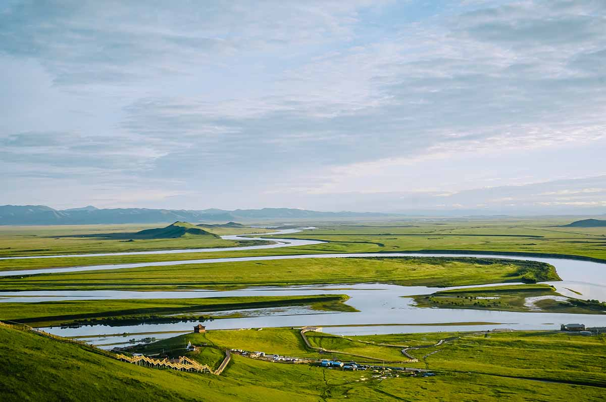
The upper reaches of the Yellow River is a segment starting from the source in the Bayankala Mountains and ending at Hekou County of Inner Mongolia just before turning sharply to the south. This segment has a total length of 3472 km.
The upper reaches can be further divided into three sections: the source, valley, and alluvial plain section. The source section flows mainly through pastures, swamps, and knolls between the Bayankala Mountains and Anemaqen Mountains.
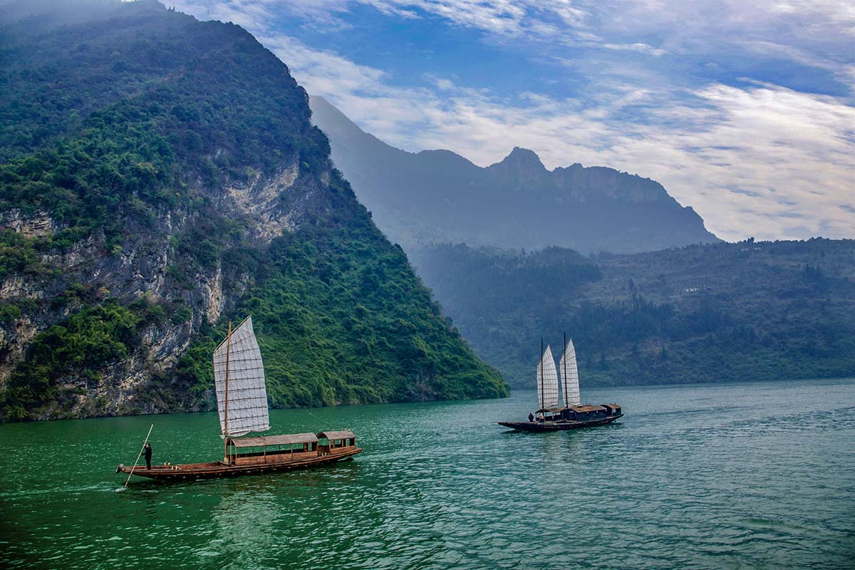
The valley section stretches from Longyang Gorge in Qinghai to Qingtong Gorge in Gansu. Steep cliffs line both sides of the Yellow River. As the water bed is narrow and the average drop is large, the water flow in this section is extremely turbulent and fast. There are 20 gorges in this section, the more famous of these being the Longyang, Jishi, Liujia, Bapan, and Qingtong Gorges. The flow conditions in this section makes it the best location to build hydroelectric plants.
After emerging from the Qingtong Gorge, the Yellow River comes into a section of vast alluvial plains, the Yinchuan Plain and Hetao Plain. In this section, the regions along the river are mostly deserts and grasslands, with very few tributaries. The flow is slow and on both sides of the river. The Hetao Plain has a length of 900 km and width of 30 to 50 km. It is historically the most important irrigation plain along the Yellow River.
Middle reaches~Yellow River at Lanzhou
The part of Yellow River between Hekou County in Inner Mongolia and Zhengzhou in Henan constitutes the middle reaches of the river. The middle reaches has a length of 1206 km long. The middle reaches is the main source of the Yellow River silts, contributing 92% of the total silts.
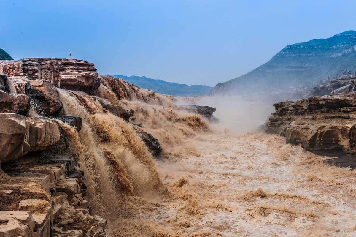
From Hekou County to Yumenkou, the Yellow River passes through the longest series of continuous valleys on its main course, known collectively as the Jinshan Valley. The abundant hydrodynamic resources stored in this section makes it the second most suitable area to build hydroelectric power plants. The famous Hukou Waterfall is in the lower part of this valley.
Lower reaches~North China Plain
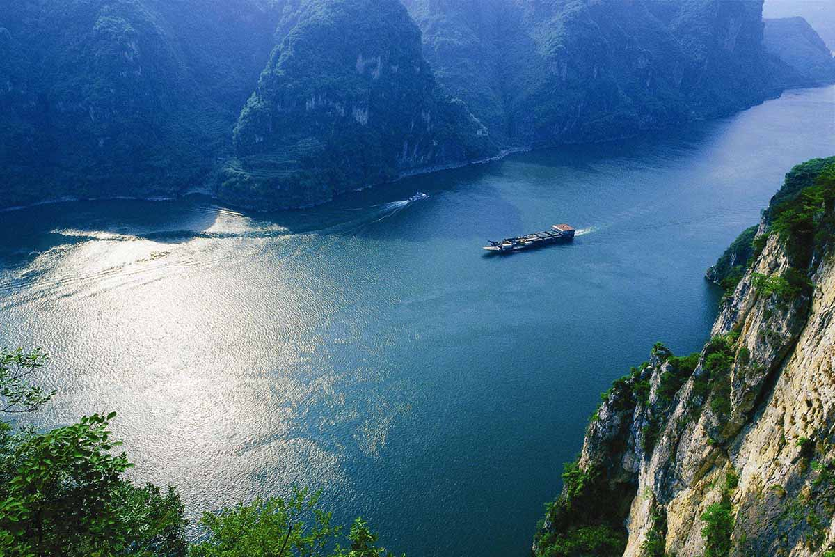
In the lower reaches, from Zhengzhou to the sea, a distance of 786 km, the river is confined to a levee-lined course as it flows to the northeast across the North China Plain before emptying into the Bohai Sea.
The silts received from the middle reaches form sediments in this stage, elevating the river bed. During two thousand years of levee construction, excessive sediment deposits have raised the riverbed several meters above the surrounding grounds. The levee-confined Yellow River receives flows from few tributaries in this stage. Nearly all rivers to the south of Yellow River drain into the Huai River, whereas those to the north of it drain into the Hai River.