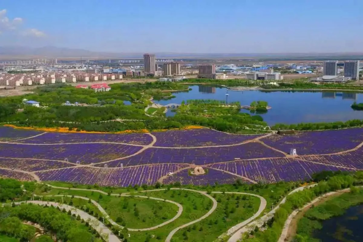
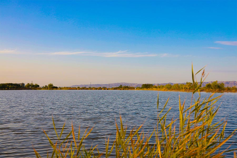
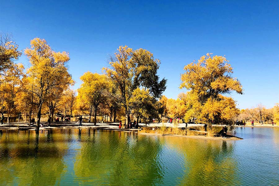
Zhangye Wetland Park
Chinese Name: 张掖湿地公园 (Zhang Ye Shi Di Gong Yuan)
Location: North of National Highway 312, Ganzhou District, Zhangye City, Gansu Province
Ticket: Free
Estimated tour time: 1-2hours
Recommended time to visit: May to Oct
Nearby attractions: Zhangye Danxia Landform Geological Park, Zhangye Giant Buddha Temple, etc.

Zhangye National Wetland Park is located in the north of Zhangye City in Gansu Province and the east of Heihe River. The total area is 1,347.65 hectares, including 601.74 hectares of conservation area, 379.84 hectares of restoration and reconstruction area, 366.07 hectares of rational utilization area, and 78.06% of wetland area. It is a wetland park of desert oasis ecosystem type which mainly protects the meadow in the diving zone of Heihe River Basin, the inland salt marsh wetland vegetation and a variety of wetland ecosystems.
There are 195 species, 124 genera and 45 families of wetland plants in Zhangye National Wetland Park, Gansu Province. There are 21 genera in the Gramineae and 12 genera in the Compositae. Leguminaceae and Leicaceae have 11 genera and 9 genera, respectively. There are 22 species, 9 genera and 9 families dominant plants.Common animals belong to 3 classes, 24 orders, 42 families and 75 genera, including more than 100 species of fish, amphibians, birds and mammals. Among them, there are 5 species of first class protected animals in China, 23 species of second class protected animals in China, and 7 species of key protected wild animals in Gansu Province.
In December 2009, Zhangye National Wetland Park was approved as a national wetland park construction (pilot). In 2011, Gansu Zhangye National Wetland Park was rated as China's national 4A level tourist scenic spot. In December 2016, Zhangye National Wetland Park officially passed the acceptance and licensing and was listed as one of the key national wetland parks.
Zhangye National Wetland Park is located at the front of Qilian Mountain proluvial fan in the middle reaches of Heihe River and the phreatic overflow zone of the ancient channel and flood plain of Heihe River. The planned area is high in the south and low in the north, with a natural drop of 22 meters (1467-1445 meters). In addition to the supplementary water source of Heihe river course and runoff new river, the main water source is groundwater seepage. There are 12202 natural springs, 3 channels and 17 artificial water diversion ditches for discharging sewage in the northern suburb wetland.
- HOTEST
- RECOMMEND