Xingwen Stone Sea
Chinese Name: 兴文石海 (Xing Wen Shi Hai)
Location: Shihai Town, Xingwen County, Yibin City, Sichuan Province
Ticket: CNY90.00 include Entrance ticket, Elevator, boat, sightseeing bus.
Estimated tour time: 3-5 hours
Recommended time to visit: All year round.
Nearby attractions: Shunan Bamboo Sea, Lizhuang Ancient Town, etc.

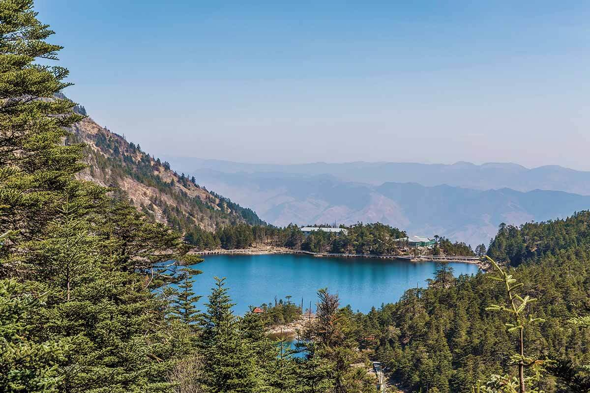
Xingwen Stone Sea is located in Shihai Town, Xingwen County, Yibin City, Sichuan Province, in the transition zone between Sichuan Basin and Yunnan-Guizhou Plateau, with a total area of about 156 square kilometers. It is a world geopark and a national scenic spot. Its geological relics mainly include: permian geological section, surface karst topography, sinkholes, karst caves, cave deposits, waterfalls, dissolved canyons, paleo-fossils, stormstone deposits, etc., among which the most famous is the sinkhole, which is the earliest place to discover and study the sinkhole in China.
● Highlights of Xingwen Stone Sea
Plant resources
There are 48 families, 82 genera and 90 species of plants in Xingwen Shihai, among which Tiankeng is the most abundant (75 species), three dissolution depressions have 52 species, and Mengtan has the least (12 species). The vegetation types of Xingwen Shihai World Geoppark are subtropical evergreen coniferous forests, typical of which are bamboo, pine, tree-fern and mountain grass shrubs. There are mainly Compositae, Oxalis, Lamiaceae, Rosaceae, Gramineae and other plants.
Topography
Xingwen Stone Sea Geopark is a karst landform with low and medium mountains and narrow valleys, and most of the mountain slopes are above 60°. In the park, a series of single-sided mountains and ring mountains are distributed, with towering peaks and deep rivers. The topography is relatively undulating. The terrain is low in the north and high in the south, with an elevation of 429~1795m.
The topography of Xingwen County presents as the northern hilly trough dam area, the central low mountain valley area, the southern Zhongshan narrow valley landform.
Hydrological characteristics
The park is mainly Yanjiang River, Shun River, Mulang River, Longtan Valley, Bolu River, confluence into Gusong River, joins the Yangtze River at Naxi from south to north.
Scientific research significance
World-scale large funnels, a large number of inflow caves, a complete karst basin, and excellent karst development conditions constitute the unique "Xingwen" karst landform. As early as the 1980s, Xingwen Karst has become the model of karst geology research in Sichuan and even in China. Along with the Stone Forest in Lunan, Yunnan and the dissolved peak cluster landscape in Guilin, Guangxi, Xingwen Karst has constituted the typical representatives of the three types of karst in western China. Therefore, Xingwen karst geological resources have important scientific value and international comparative research significance.
Major scenic spots
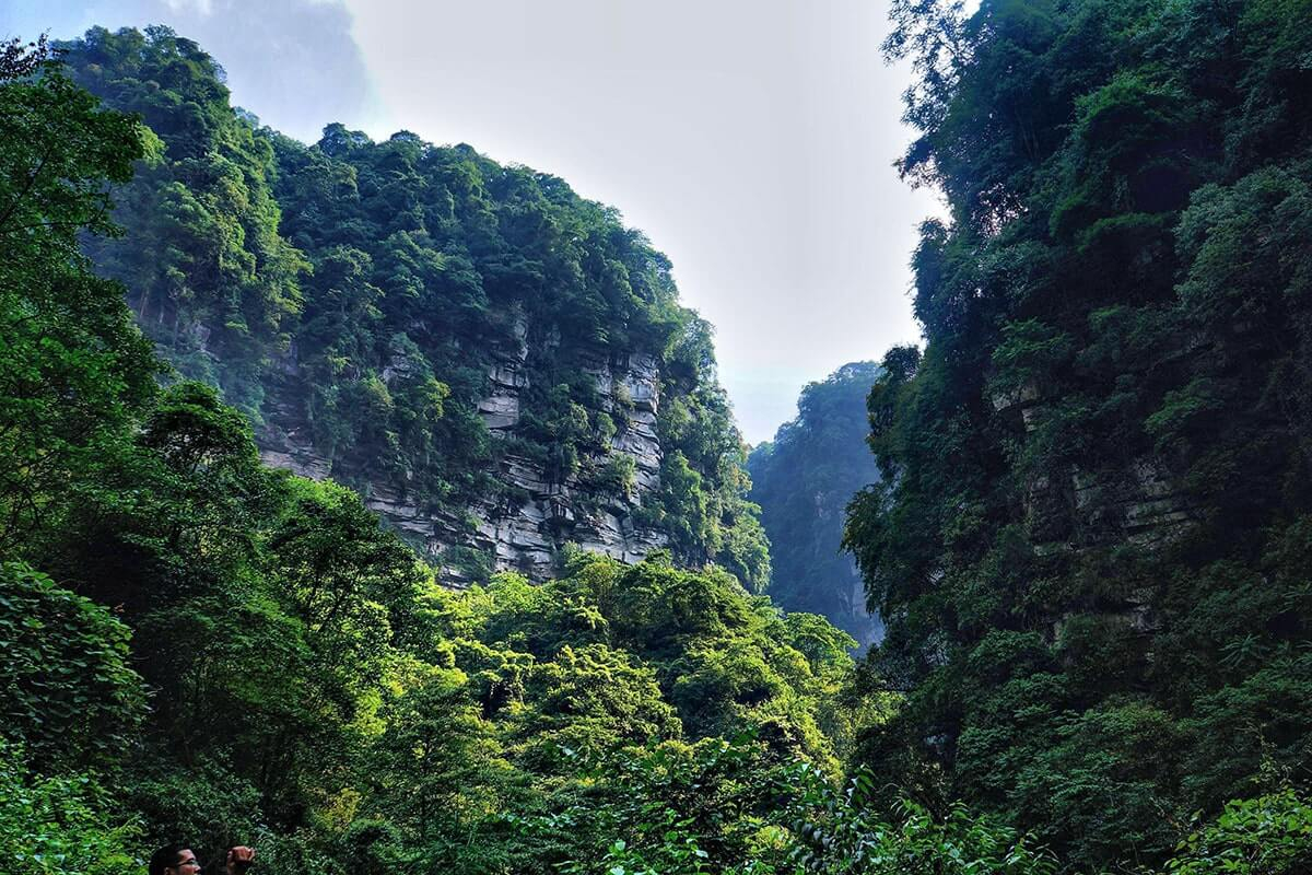
The geopark consists of 4 parks. Xiaoyanwan Geological Park is composed of a cave group for more than 200 big and small caves represented by Tianquan Cave. Bowangshan Geological Park, known for its natural ecology, is home to a variety of geological sites including canyons, waterfalls, lakes, caves and ruins of the ancient Bo people, a legendary nation has been extinct for more than 500 years.. Tai'an Ancient Stone Forest Park, formed 490 million years ago in the ordovician period, associated with the thousand year old ginkgo, cave group and bamboo forest.
- HOTEST
- RECOMMEND