Wucaitan Scenic Area
Chinese name: 五彩滩(Wu Cai Tan)
Location: 24km north of Burqin County,Altay Prefecture, Xinjiang.
Ticket: Entrance ticket CNY45.00
Estimated time of tour: 2-3 hours
Recommended time of visit: May to Oct.
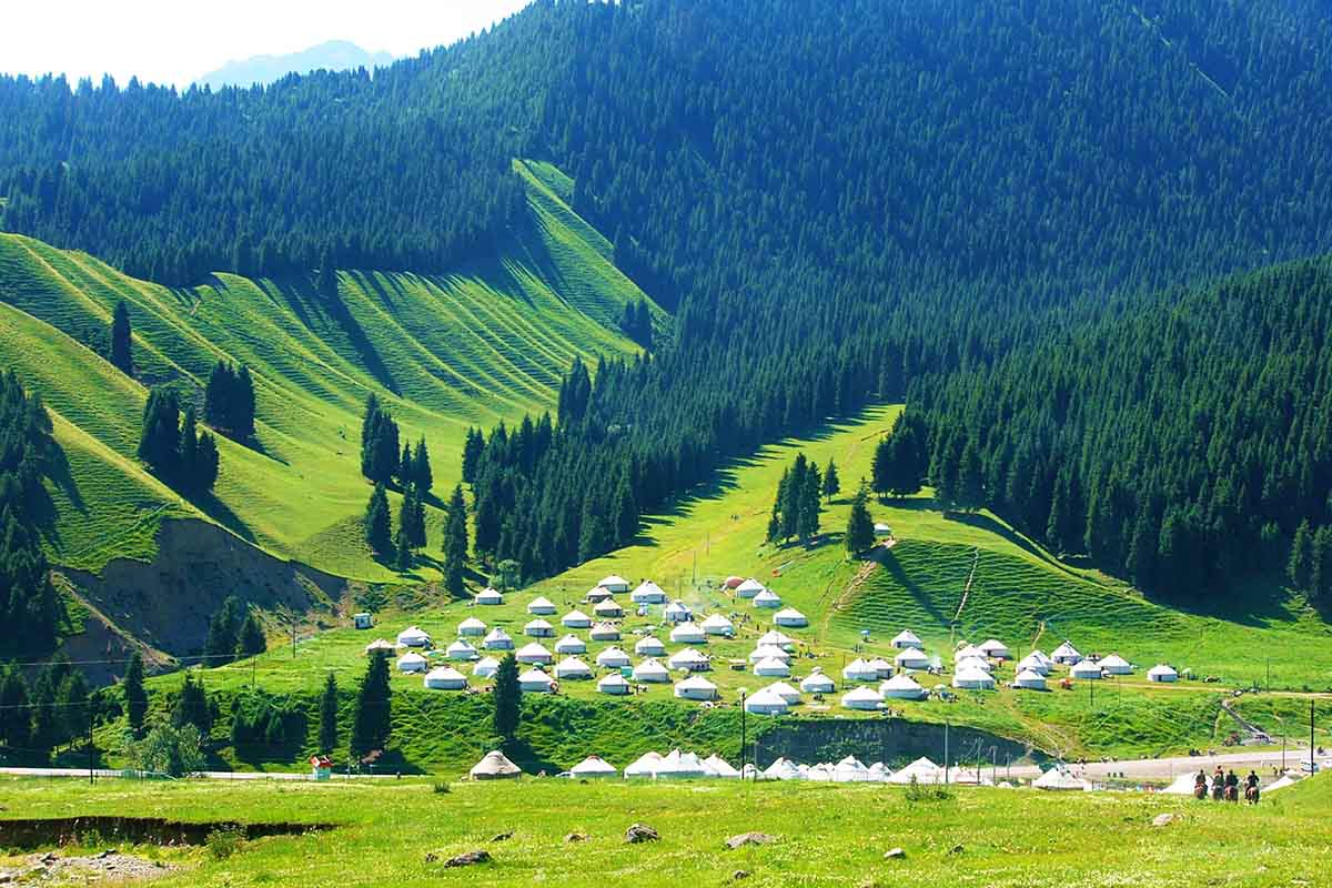
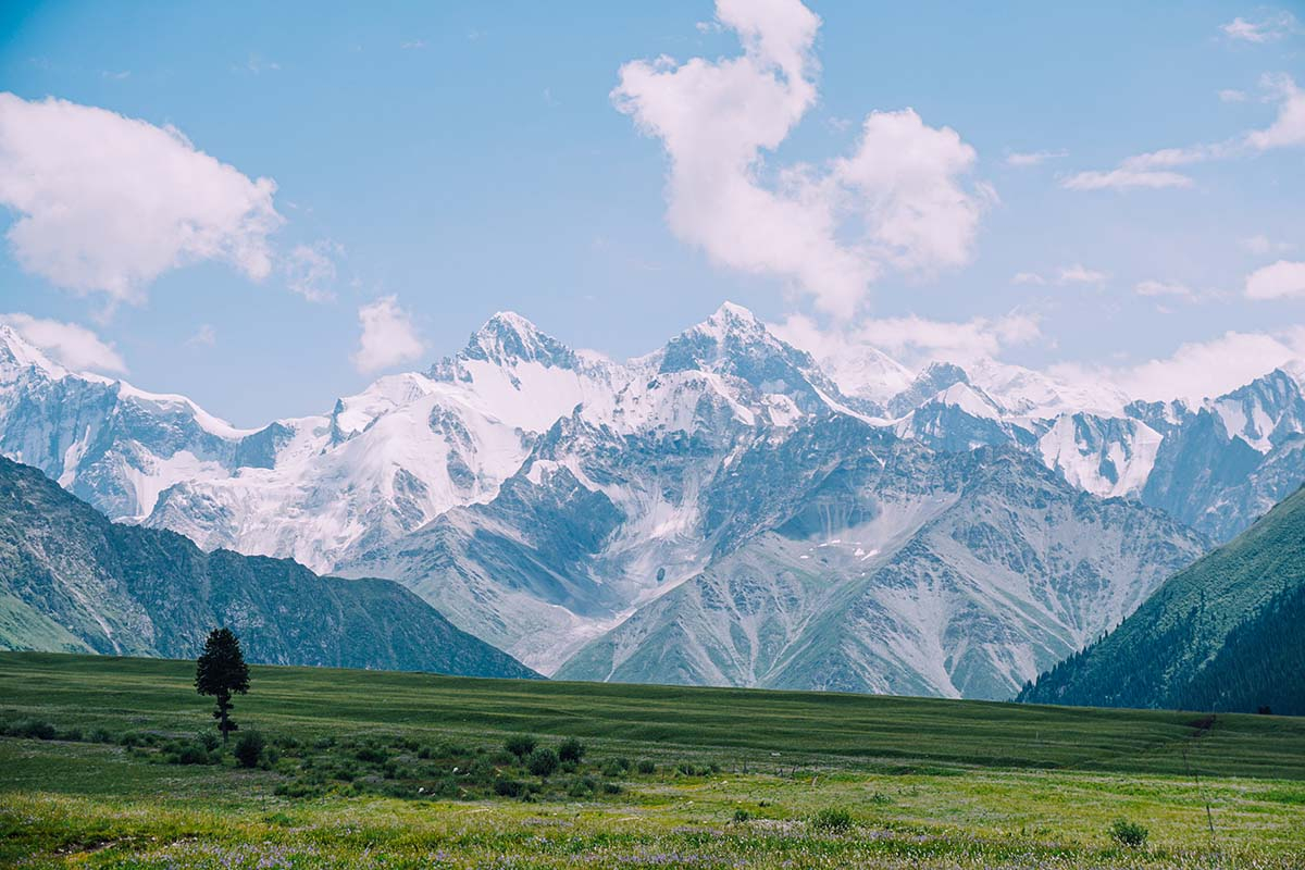
Nearby attractions: Keketuohai scenic area, Kanas Lake, Hemu Village, etc.

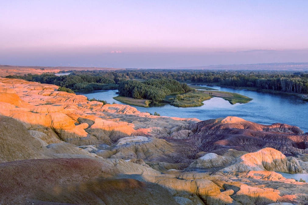
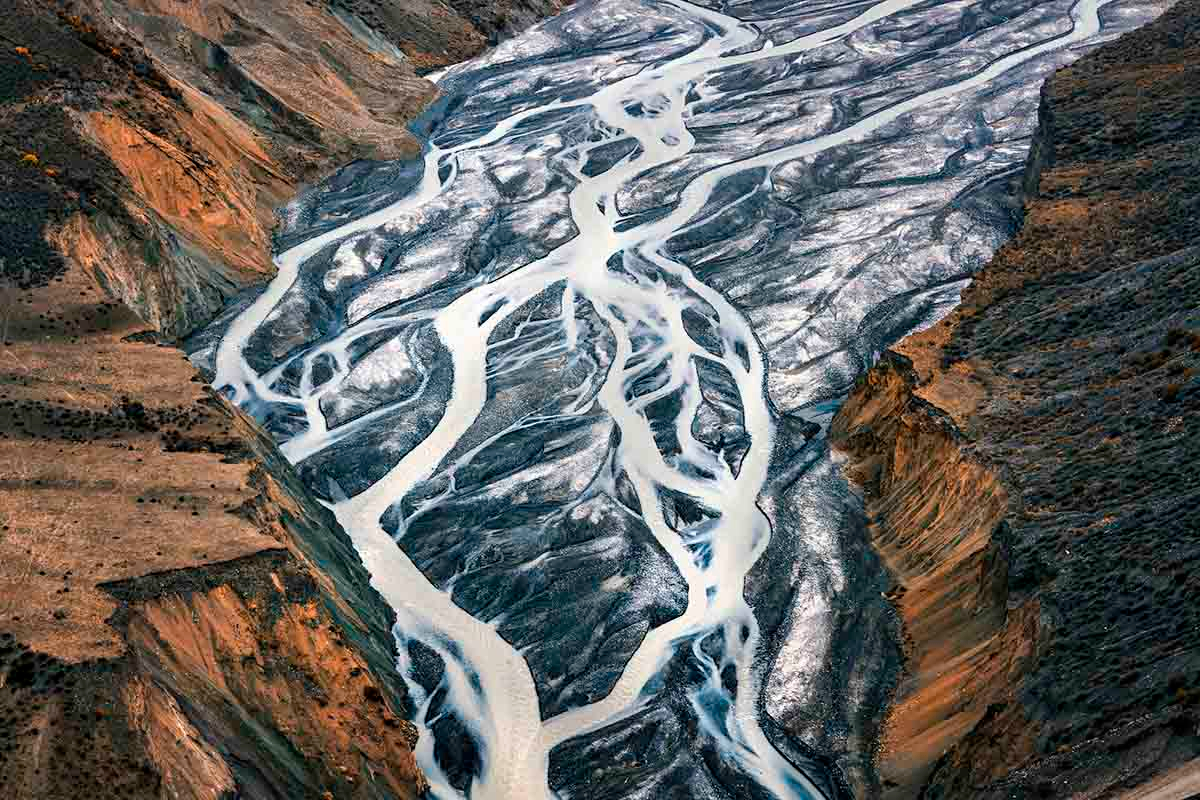
Wucaitan is mandarin Chinese for “colorful beach” or “rainbow beach”. It is a group of small but colorful humps/hills by the north banks of Irtysh River, the only river in China that flows into the Arctic Ocean through Kazakhstan and Russia.
This site locates 24km away from Burqin County, Altay Prefecture of Xinjiang Uygur Autonomous Region. It is a stop over site one the way to Kanas Lake.
This unique landform is the product of water and wind erosion over a long period of time. It is known as Yardang Landform in geological terms. This term was firstly introduced by Swedish explorer Sven Hedin in early 20th century during his trip to Xinjiang, northwest China and central Asian countries. It is also known as Aerodynamic Landform or Sphinx Landform. Yardang in Uygur language means “vertical small hills/humps”, which sums up the overall shape and appearance of this type of land.
The north bank is barren with little vegetation, a huge contrast to its lush and green south bank. Hills and humps in various shapes and sizes appear on the slopes of north river banks of Irtysh River. They sit next to each in a spacing of 5-10 meters. Average height of hills are 5-15 meters, the highest one can top 25 meters. Countless hills scatter on the river banks covering an area of 3 square km.
This site is in a windy but dry terrain. Those specific geological and meteorological conditions might have an influence on how the natural forces, such as wind and water, interact with the terrain. The result of that is the force that the terrain are imposed on varies in strength and directions. That in turn is presented in the different size; shapes or even colors of hills as each rock layer or surface contain different types and quantities of minerals.
In some specific location of these hills, strange sound are created when wind blow through the surface of the ground.All this, together with its unique and curvaceous shapes attracts visitors from home and abroad.
- HOTEST
- RECOMMEND